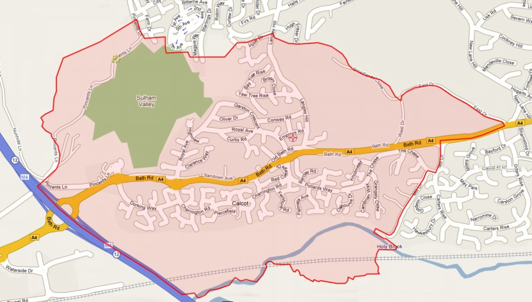
Current Parish Boundary
The current parish boundary is shown on the right. Click on the map for a larger version. The historical location of the St Birinus and Cornwell Community Churches are also shown.
If you’re not sure whether you reside within our boundary, goto the directory of Church of England churches at https://www.achurchnearyou.com/ . You can enter your address or postcode to see whose parish you reside in.
Parish Boundary Changes of 2007
On 1st October 2007 the new parish of “Tilehurst St Catherine and Calcot St Birinus” was formed from segments of the two earlier parishes “Tilehurst St Catherine of Siena” and “Calcot St Birinus”. The changes to their original boundaries were as follows :-
- The part of the former St. Birinus Parish, south of the A4, joined with Southcote St. Matthew.
- The part of the former St. Birinus Parish, east of Langley Hill, joined Tilehurst St. Michael.
- The part of the former St Catherine’s Parish, north east of Dark Lane, joined Tilehurst St. Mary Magdalene.
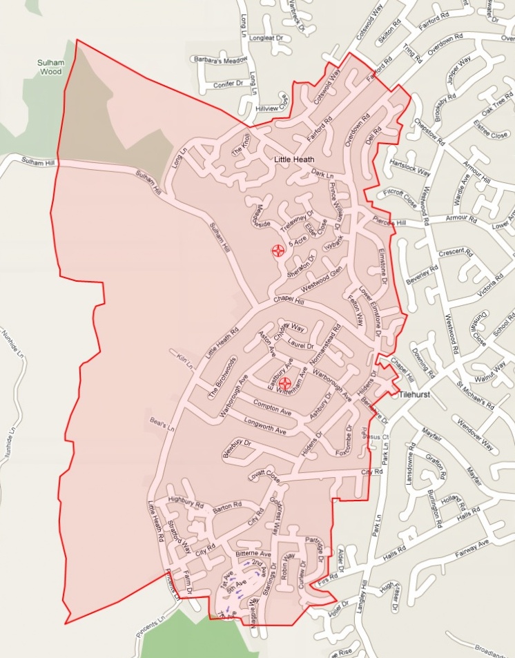
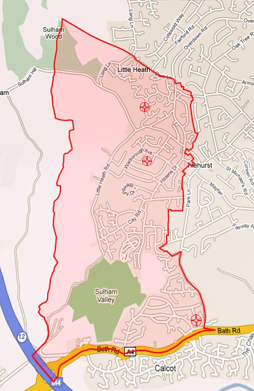
Original Boundaries
The pre-2007 original boundaries of the two parishes are shown in the maps below. Click on each picture for a larger version.